 Plai
PlaiZarosliak — Nesamovyte — Shpytsi — Hoverla loop
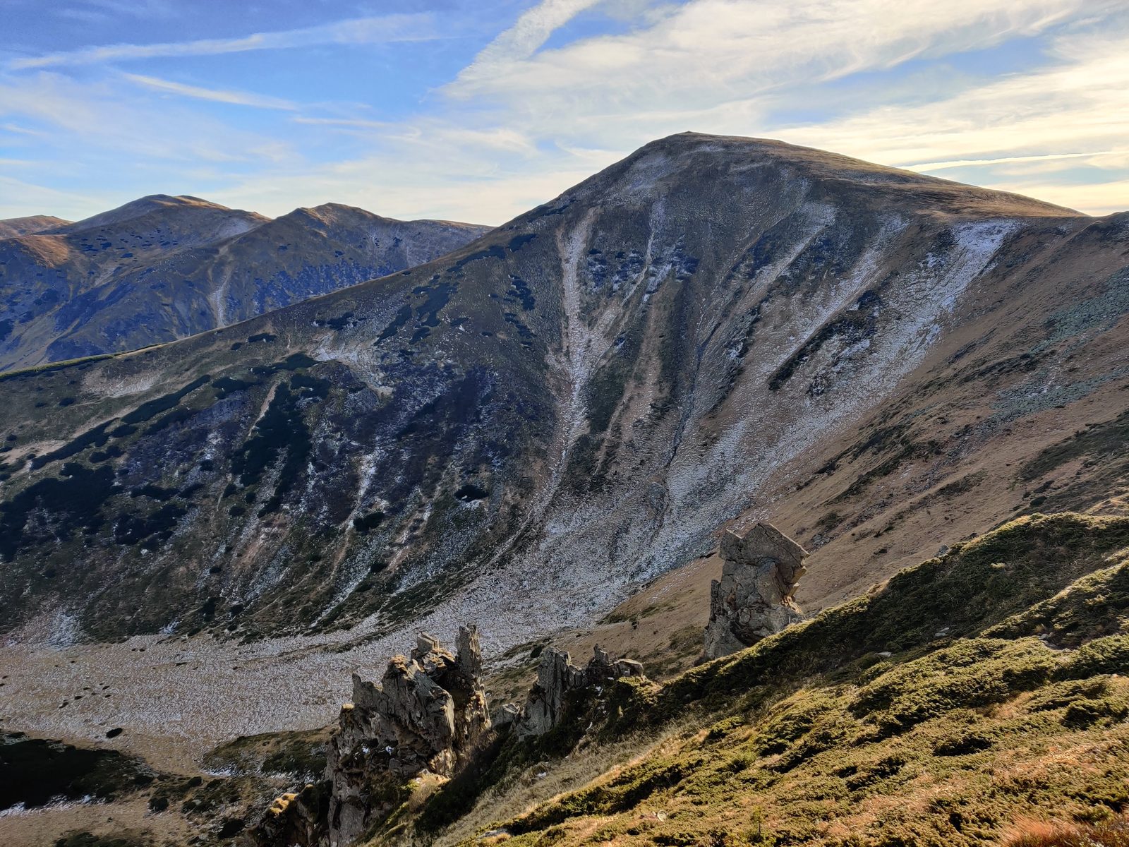
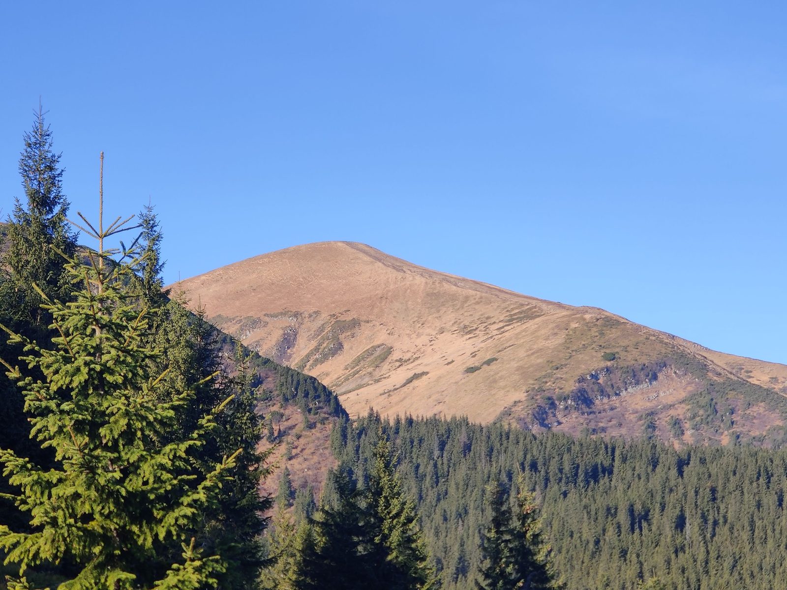
A one-day loop through the heart of Chornohora from the Zarosliak base: past the high-mountain lake Nesamovyte, along the rocky towers of Shpytsi and up the ridge to Hoverla (2061 m) — the highest summit of Ukraine. The route packs the massif's main highlights into one full day of 7–8 hours on the move.
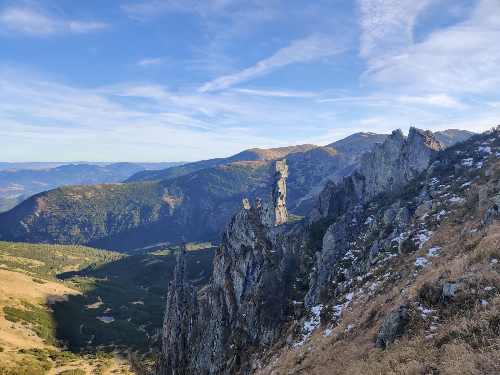
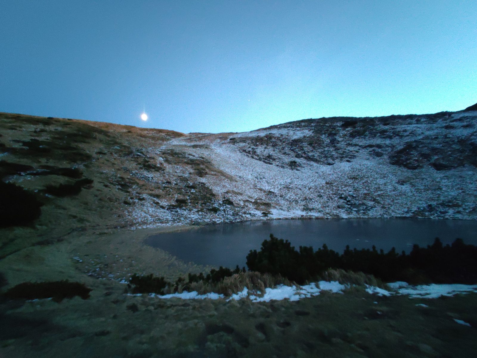
Nesamovyte is one of the best-known lakes of the Ukrainian Carpathians: it sits in a glacial cirque right under the ridge and is at its most atmospheric at sunrise and dusk. Shpytsi is a rock amphitheatre of sharp towers, unexpected in the mostly gentle Chornohora — the views here are among the most striking in the massif.
The loop starts and ends at Zarosliak, easiest reached by car or by transfer from Vorokhta. No border-zone permit is needed. Below is the full free description: logistics, timing, water and safety.
Logistics
Getting there: easiest by car to the Zarosliak base — there is parking. Without a car — train to Vorokhta, then a transfer or taxi to Zarosliak. No border-zone permit is needed, but the Carpathian National Park charges an entrance fee — carry cash. Register with the mountain rescue service before you go.
Plan & timing
The format is one day, 7–8 hours of walking with a morning start. The climb from Zarosliak to lake Nesamovyte takes 3–4 hours, then about 30 minutes to Shpytsi and ~2 more hours along the ridge to Hoverla; from there a steep descent leads back to Zarosliak. If you like, split it into two days with a tent night by Nesamovyte.
Water & camps
Water is available on the stretch from Zarosliak to lake Nesamovyte. After that the ridge is dry — the next water comes on the descent from Hoverla, so carry enough from the lake for the whole ridge.
Safety
The hardest section is the steep descent from Hoverla — take extra care in rain or snow. The simplest escape route is to turn back the way you came. Mobile coverage is good on the ridge and at Zarosliak; there is none by the lake and right under the summits. Even in summer mountain evenings can get very cold — pack warm layers. Don't swim in the mountain lakes. The route can be walked year-round, but with snow only with proper experience and gear.
The full route track in GPX format — for your GPS device or a smartphone app.
Download GPXThis route is free. If it helped you, you can support the project: donate via the monobank jar — 100% of the proceeds go to the Armed Forces of Ukraine.