 Plai
PlaiKvasy — Petros — Hoverla — Vorokhta traverse ✓ GPS track
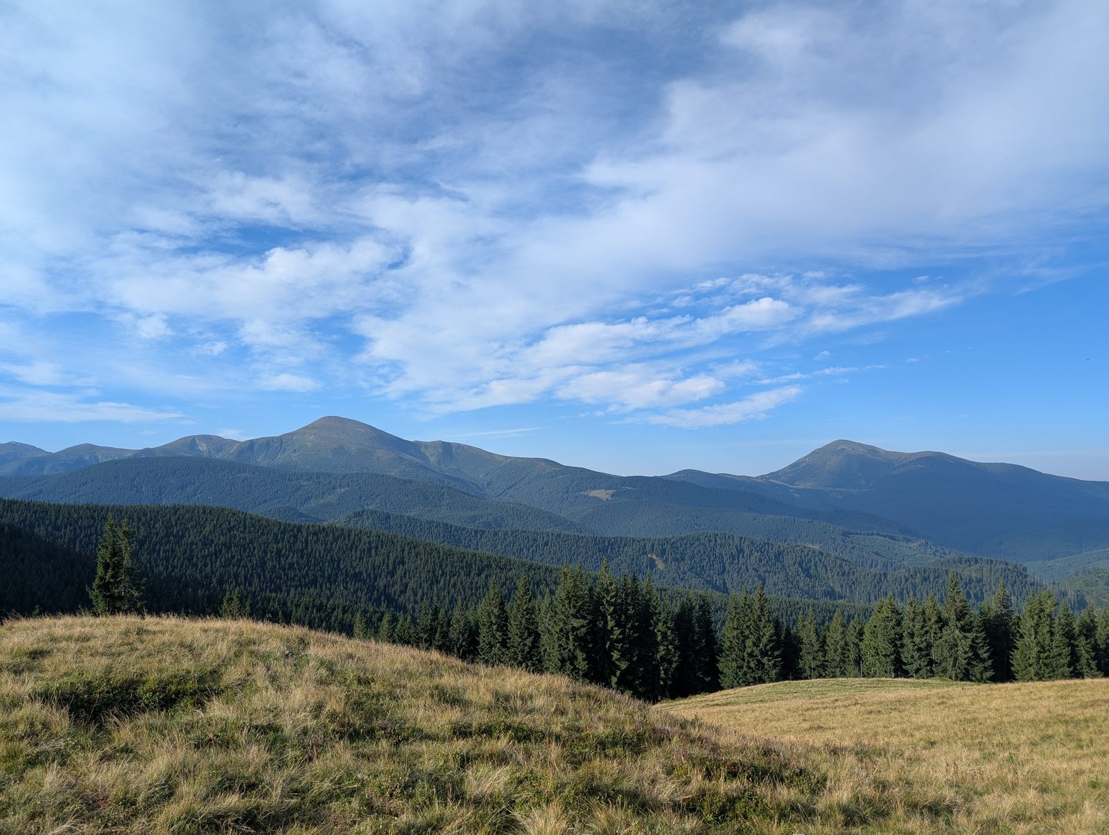
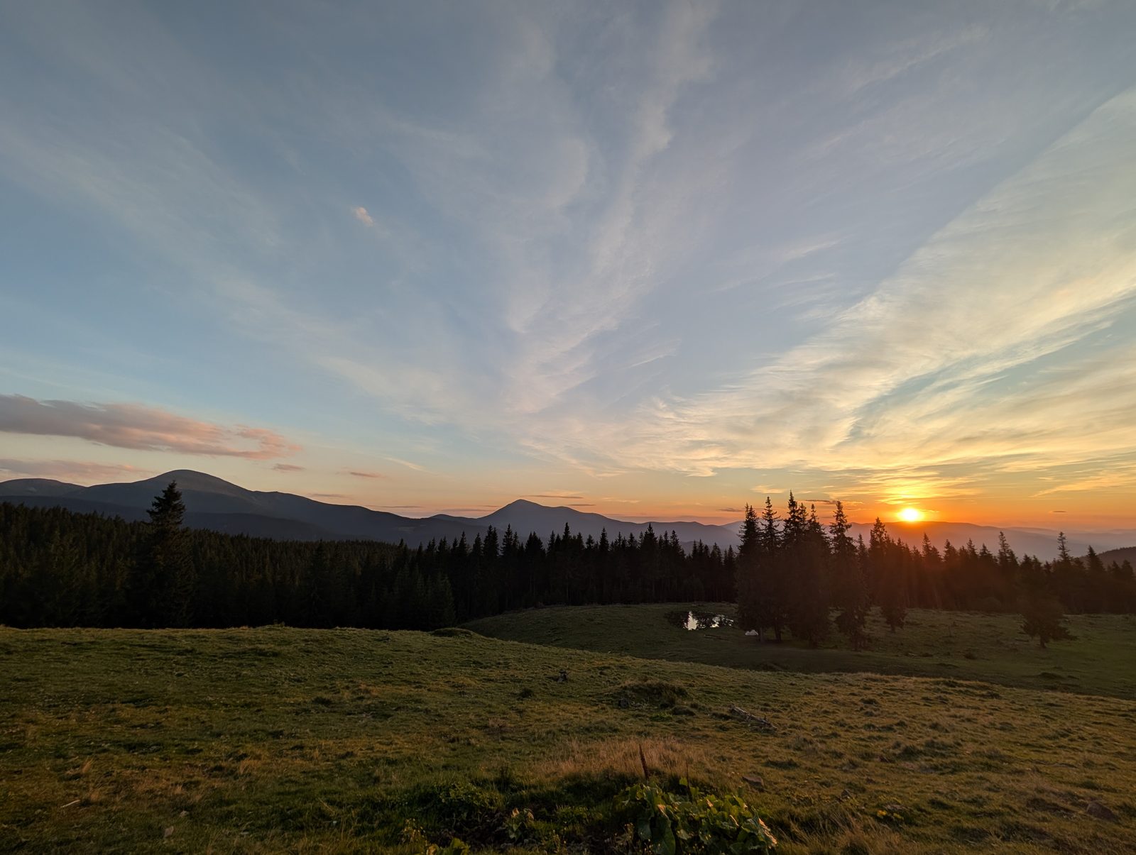
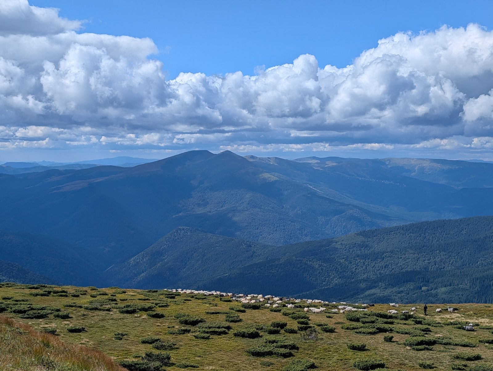
A three-day traverse of western Chornohora: from Kvasy over Petros (2020 m) and Hoverla (2061 m), finishing in Vorokhta. Two 2000ers, tent nights and a sunset on the Kukul meadow. The geometry is a real GPS recording of the trek.
The route links the two highest "poles" of western Chornohora into one line: a long climb from Kvasy onto the free-standing, windswept Petros, a technical descent to the saddle, Ukraine's highest summit, and a gentle walk-out over the Kukul meadow. The Kukul sunset facing Hoverla and Petros is one of the route's great rewards.
43.8 km and about 2600 m of gain over three days — a format for fit hikers with a tent. Rail logistics are convenient: a morning train brings you to Kvasy and an afternoon one picks you up in Vorokhta. The paid guide covers verified water, overnight spots, day-by-day timings, escape routes and logistics.
- Detailed description with timings and checkpoints
- Accurate GPX track
- Logistics: getting there and back
- Water, camps, escape routes