 Plai
PlaiLazeshchyna — Petros — Kvasy
A one-day traverse of Petros (2020 m), the second-highest 2000er of Chornohora: from Lazeshchyna up the steep side to the summit and a long descent to Kvasy. Almost 32 km and 12 hours of walking — a route for fit hikers, but with no tent needed and a railway at both ends.
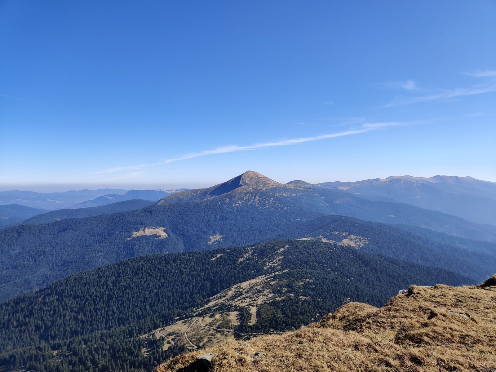
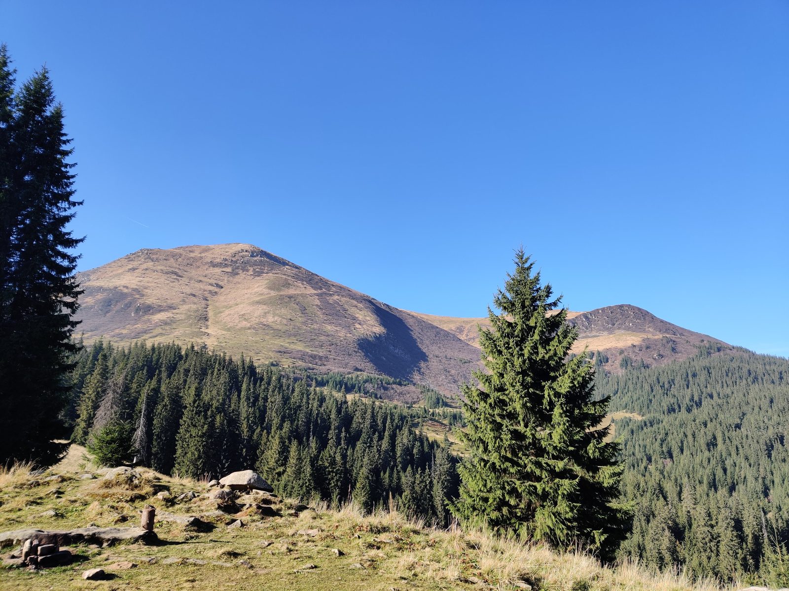
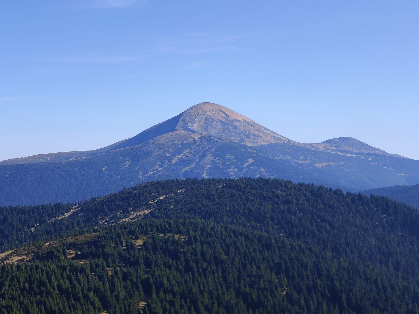
Petros is a free-standing, windswept and very charismatic summit with arguably the best view of Hoverla and the whole Chornohora ridge. The climb from the saddle (Hoverla) side is steep and demanding, especially in rain — come prepared to work.
Logistics are simple: an evening train to Lazeshchyna, a night in the village, a 6 am start — and an evening train home from Kvasy. Below is the full free description: logistics, timing, water and safety. Note: the Petros area requires a border-zone permit.
Logistics
The train is the way to go: arrive in Lazeshchyna in the evening, sleep in the village and start at dawn; return on an evening train from Kvasy. Check current departures in the Ukrzaliznytsia app. The Petros area is a border zone — a border-service permit is required, arrange it in advance. Park entrance fees may be collected — carry cash. Register with the mountain rescue service before you go.
Plan & timing
The format is one long day, about 12 hours of walking. Start at 6 am from Lazeshchyna, summit Petros (2020 m) by midday, and descend to Kvasy by evening. No overnight is planned, though camping spots exist if you want to split it into two days.
Water & camps
Water is available along the whole climb to the foot of Petros and again on the descent to Kvasy. Overall water is not a problem on this route — only the summit section is dry.
Safety
The hardest section is the climb up Petros from the Hoverla (saddle) side: steep and exhausting, dangerous in rain. The simplest escape is to turn back the way you came. Mobile coverage drops out in places but works on Petros itself. Summer is the best season; in winter there is deep snow and the route is dangerous without proper gear and experience.
The full route track in GPX format — for your GPS device or a smartphone app.
Download GPXThis route is free. If it helped you, you can support the project: donate via the monobank jar — 100% of the proceeds go to the Armed Forces of Ukraine.